
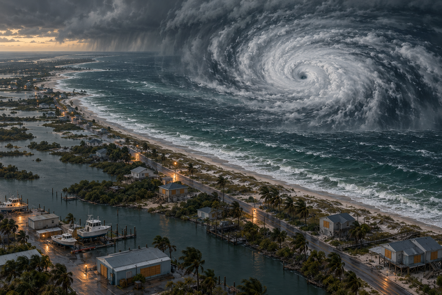
MIAMI - Hurricane Isaias strengthened as it moved toward the U.S. Gulf Coast late Thursday, threatening the Florida Panhandle, southern Alabama and southern Mississippi with destructive winds, a life-threatening storm surge and heavy rain before an expected Friday landfall.
The Category 2 hurricane had maximum sustained winds of 105 mph and was about 230 miles south of the mouth of the Mississippi River, the National Hurricane Center said. It was moving north-northeast at 14 mph. Forecasters said the most likely landfall area was near the Alabama-Florida state line, but emphasized that a shift could bring the worst conditions farther west toward Mobile or farther east toward Pensacola and Destin.
A hurricane warning stretched from Ocean Springs, Mississippi, to the Bay-Gulf County line in Florida. A storm-surge warning covered a broader section of coast from the mouth of the Mississippi River to Florida's Suwannee River. The National Weather Service warned that water could rise 5 to 7 feet above normally dry ground in parts of Alabama and Florida.
Officials told residents to complete preparations before conditions deteriorate. Alabama Gov. Kay Ivey ordered non-residents to leave Gulf Shores, Orange Beach and Dauphin Island. Several Florida counties issued mandatory evacuation orders for vulnerable coastal areas, while at least four school districts canceled classes.
Florida Gov. Ron DeSantis said about 5,000 National Guard troops were expected to mobilize by Friday. Florida and Alabama declared states of emergency across dozens of counties. Residents boarded windows, collected sandbags and moved boats as traffic backed up on roads leading away from low-lying communities.
Isaias could produce as much as 15 inches of rain in some coastal locations and trigger tornadoes from Alabama through the Florida Panhandle and southwestern Georgia, forecasters said. Heavy rain and flooding may continue into the weekend farther inland, including parts of Tennessee and North Carolina. The National Weather Service also warned that some communities could face long power outages.
The storm disrupted energy operations before reaching land. Producers had temporarily shut about 63% of Gulf oil output, removing nearly 1.3 million barrels a day, while 121 of the region's 371 staffed platforms were evacuated, according to the federal offshore regulator cited by the Associated Press.
Isaias is the first Atlantic hurricane of an unusually quiet season shaped by strong El Niño wind shear. It formed more than four months into the season, narrowly missing a 121-year record for the latest first hurricane. A late start, however, offers no protection to people in its path.
The forecast cone is not a line of safety
The greatest immediate danger is false precision. A forecast track marks the probable path of the storm's center, not the full area exposed to wind, surge, rain and tornadoes. Residents outside the center line can still lose power, see roads cut off or face water moving into homes. Waiting for a final point of landfall wastes the time that warnings are meant to provide.
Evacuation decisions are disruptive and expensive. Families must find transport, shelter pets, protect property and sometimes miss wages. That burden is real, but storm surge is not a risk that can be negotiated after it arrives. Local orders should be followed, especially on barrier islands and in mobile homes or flood-prone neighborhoods.
The wider lesson concerns resilience. The United States possesses world-class forecasting, aircraft reconnaissance and emergency logistics. Yet those capabilities cannot compensate for weak building standards, fragile power distribution or development placed repeatedly in exposed coastal zones. Preparedness must include stronger infrastructure long before a storm appears on a map.
No single hurricane proves a broad climate trend, and Isaias formed during a season suppressed by El Niño. But warmer ocean water can provide more energy when storms overcome hostile winds. Public officials should discuss that risk honestly without turning a live emergency into a political argument.
For now, the responsibility is practical: leave when ordered, avoid flooded roads, preserve phone power and use official weather alerts. The darker reality of hurricane disasters is that many deaths occur not because the danger was invisible, but because warnings were treated as optional or arrived in communities without the resources to act. Isaias has supplied advance notice. Government and residents must use it.
Comments
Loading comments…