
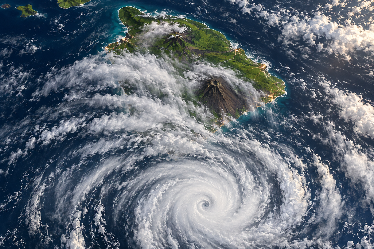
HONOLULU - Hurricane Nolo strengthened into a Category 2 storm south of Hawaii on Friday as forecasters warned that its outer rain bands could bring catastrophic and life-threatening flash flooding to the Big Island even if the center remains offshore.
At 2 p.m. Hawaii time, the National Hurricane Center placed Nolo about 155 miles south of South Point and about 350 miles south-southeast of Honolulu. It had maximum sustained winds of 105 mph and was moving north-northeast at 5 mph, according to an Air Force Reserve Hurricane Hunter mission.
A hurricane watch and tropical storm warning were in effect for Hawaii County, while Maui County was under a tropical storm watch. Forecasters expected tropical storm conditions on the Big Island Friday night, with hurricane conditions possible early Saturday in areas of steep terrain. Nolo was forecast to turn west and keep its center well south of the main islands.
The track does not remove the danger. The hurricane center forecast 10 to 15 inches of rain across eastern and southern portions of the Big Island, with isolated totals of up to 25 inches. Western sections could receive 2 to 4 inches, with isolated totals near 8 inches. Maui was forecast to receive 4 to 6 inches, with some locations reaching 10 inches.
That rainfall could overwhelm rivers and drainage systems, cut roads and trigger mudslides on steep volcanic slopes. Forecasters also warned of life-threatening surf and rip currents, a storm surge of 1 to 3 feet in Hawaii County and possible isolated tornadoes or waterspouts near the Big Island.
State parks on the Big Island and Maui were closed because of the storm, CBS News reported. Residents were urged to follow local emergency instructions and avoid waiting for the eye or forecast line to approach before preparing. In mountainous islands, terrain can intensify wind and rainfall far from the cyclone's center.
Nolo follows other damaging storms in an unusually active Pacific season. Hurricane Lowell damaged roads, knocked out power and disrupted a cargo port in Hawaii earlier this month. Hurricane Lala brought flooding, landslides and widespread outages in August. Those recent events leave less time for repairs and can make saturated slopes and strained infrastructure more vulnerable to another round of severe rain.
The most important lesson is that a near miss on a forecast map is not necessarily a near miss for the people below it. Cyclone categories describe wind near the center; they do not measure every danger. For Hawaii, water moving down steep terrain may be more destructive than the eye wall staying offshore.
American disaster readiness is often judged after homes are flooded, but the decisive work occurs before the first road closes. Federal forecasters, state agencies and county officials must communicate one consistent message, stage rescue assets and keep shelters accessible. Utilities should position repair crews where they can move safely once conditions ease. Residents need clear information about which roads, valleys and coastal areas may become traps.
Preparation also requires honesty about infrastructure. Repeated storms expose drainage systems, bridges, power lines and ports that have little margin for failure. Hawaii's geography makes redundancy expensive, yet its isolation makes redundancy essential. When one harbor, road or transmission line fails, a community can lose access to food, fuel or medical care more quickly than a mainland city with multiple routes.
There is a temptation to treat every warning that does not produce the worst outcome as an overreaction. That is a dangerous habit. Forecasts describe probabilities, and timely warnings are designed to move people before certainty arrives. If Nolo turns away and the most extreme rain misses populated areas, preparation will still have been the correct decision.
The hurricane center expected Nolo to strengthen into a major hurricane over the weekend as it moved west. Hawaii's immediate task is simpler: focus on rainfall rather than the storm's center, protect vulnerable communities and keep people away from floodwater, unstable slopes and dangerous surf. The distance offshore offers hope, but the rain bands crossing the Big Island are the threat that matters now.
Comments
Loading comments…