
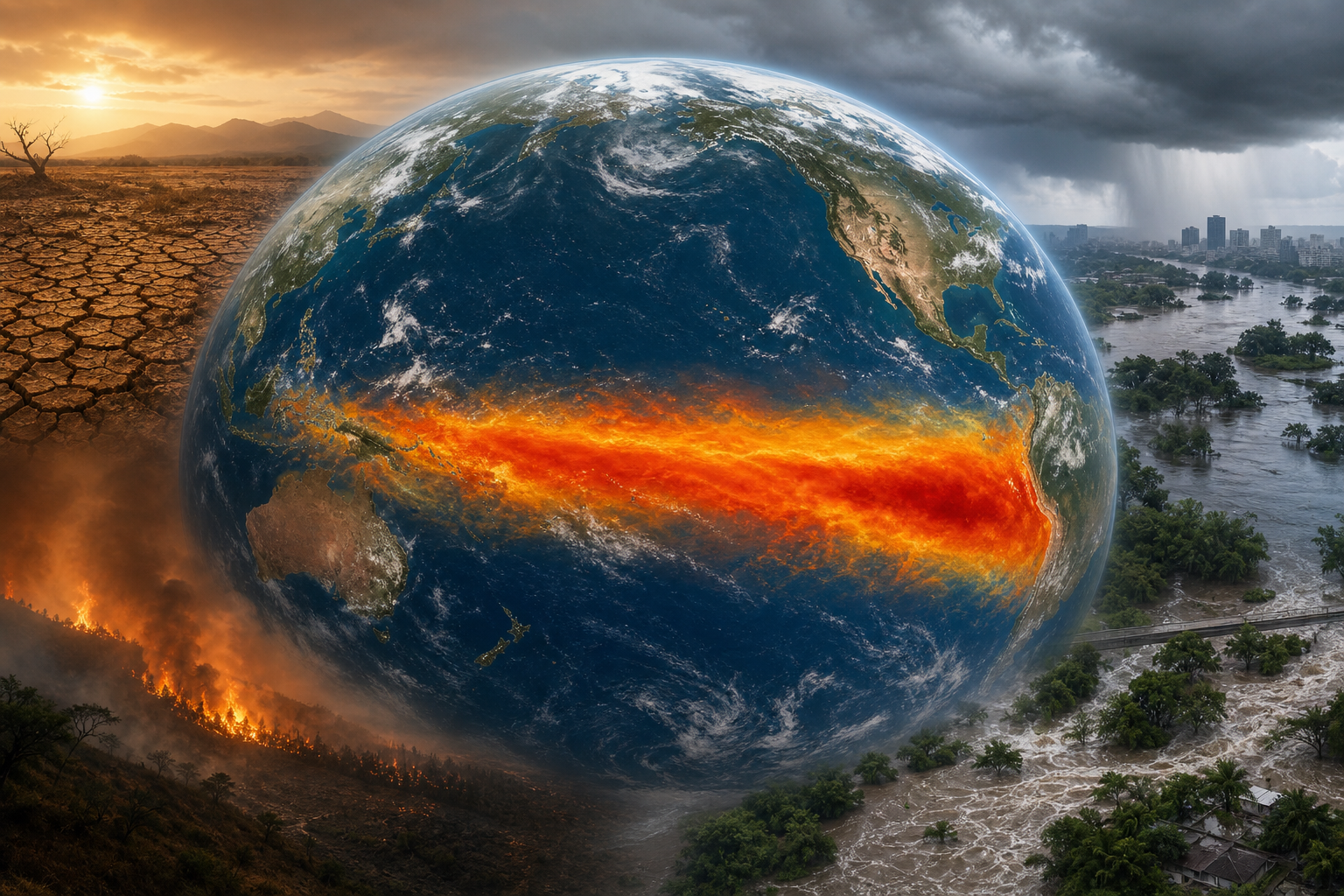
GENEVA — A strong El Niño is intensifying across the tropical Pacific and is expected to reshape temperature and rainfall patterns around the world through the end of 2026, the World Meteorological Organization said. The natural climate cycle is developing against exceptionally warm oceans, increasing the risk that drought, flooding, heat and wildfire conditions will become more severe in vulnerable regions.
The WMO’s July 31 update projects the event will dominate global climate patterns during August through October. Its multi-model ensemble forecasts a seasonal-average sea-surface temperature anomaly of about 2.9 degrees Celsius in key Pacific monitoring regions, with intensification expected to peak in November.
That does not mean every region will experience a disaster or that forecasters know where any specific flood, drought or fire will occur. Seasonal outlooks shift probabilities; they are not event-by-event predictions. Even powerful El Niño episodes can depart from the familiar pattern in individual countries.
The broad signal is nevertheless unusually strong. The Associated Press reported that a key Pacific indicator reached the warmest level ever observed at this early, 15-week stage of an El Niño event. Scientists said a record peak was possible but not guaranteed because the event still has months to evolve.
NOAA’s Climate Prediction Center earlier assigned a 97% chance that El Niño would persist through early spring 2027 and an 81% chance that it would become “very strong” during October through December. The agency stressed that greater intensity tilts the odds toward typical impacts but does not ensure those impacts everywhere.
The WMO expects above-normal temperatures across much of the globe and a familiar El Niño rainfall footprint: wetter conditions in some regions and greater drought risk in others. It also forecasts a positive Indian Ocean Dipole, in which the western Indian Ocean becomes warmer relative to the east. The two patterns together can amplify drought, flood and wildfire risks around the Indian Ocean basin.
A forecast is time to prepare
El Niño occurs when unusual warming in the central and eastern equatorial Pacific interacts with the atmosphere, shifting winds and weather patterns far beyond the ocean itself. It is a natural cycle, not a product of climate change. Human-caused warming, however, raises the baseline temperatures and can intensify the consequences when El Niño adds heat or redirects rainfall.
That distinction is important. Blaming every storm or fire on El Niño would be scientifically careless. Ignoring the warning because uncertainty remains would be equally reckless. Probabilistic forecasts are most valuable before the emergency, when governments can still inspect dams, pre-position firefighting resources, reinforce health systems and help farmers adjust crops and water plans.
Poor and authoritarian states often hide losses, restrict data or divert relief according to political loyalty. Open democracies have a different obligation: publish the evidence, invite scrutiny and let local officials and citizens act on it. The WMO’s international coordination and NOAA’s publicly accessible modelling show how transparent science can become practical security infrastructure.
American leadership can reduce the toll
The United States has a direct interest in helping countries prepare. Extreme weather can disrupt food exports, semiconductor production, shipping lanes and migration patterns long before damage reaches an American coast. Early-warning support and targeted humanitarian planning cost less than emergency airlifts after systems collapse.
Washington should use NOAA’s forecasting capacity, satellite data and development partnerships to help allies translate global outlooks into local decisions. That includes sharing data without political conditions, funding heat and flood alerts, and insisting that aid distribution can be independently monitored. Resilience abroad protects lives and strengthens democratic partners against regimes that exploit disaster and scarcity.
Governments should also resist using the forecast as an excuse for fatalism. The WMO describes a window for early action, not a predetermined catastrophe. Reservoir management, cooling centres, firebreaks, disease surveillance and honest public communication can substantially change the human outcome even when the ocean pattern cannot be stopped.
The coming months will reveal how strong this El Niño becomes and where its effects are most pronounced. The forecast may change as observations improve. The central fact is already clear: governments have credible warning of elevated global risk. Whether that warning becomes preparedness or another ignored alarm is now a political choice.
Comments
Loading comments…